# DIGITAL REALTY: Territorial Expansion
## Territorial Expansion
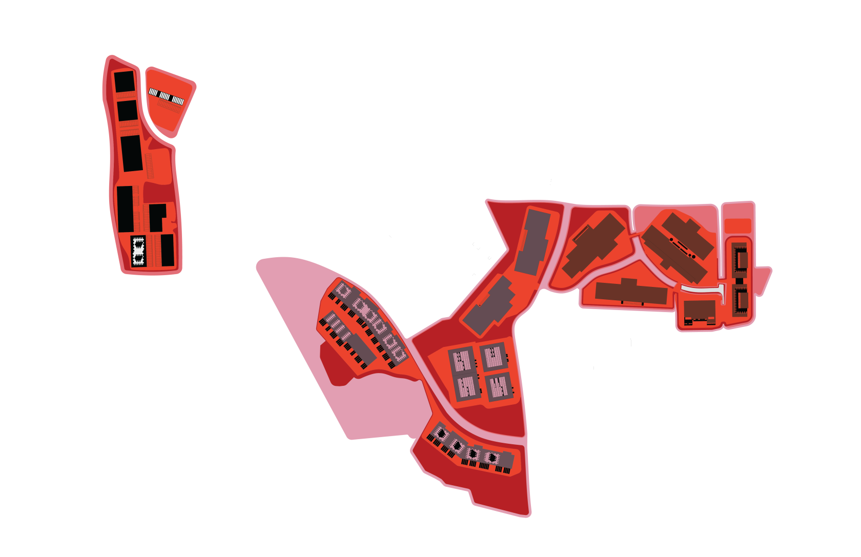
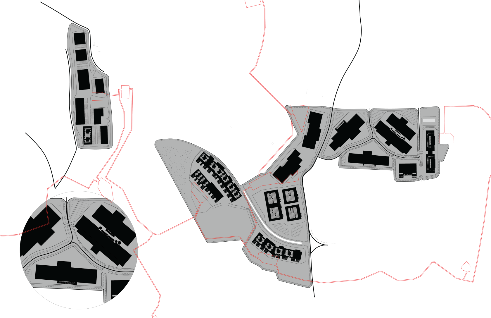
Digital Realty’s Ashburn campus spans ~98 acres, strategically assembled over two decades. Their expansion strategy is land banking: purchasing large contiguous parcels zoned PD-IP (Planned Development–Industrial Park), ensuring they control enough ground for both immediate data halls and future growth. This gives them spatial leverage against competitors (Amazon, Equinix) by preventing fragmentation. Expansion happens in phases. They build one or two powered-base buildings, leave adjacent pads vacant, and then develop when demand rises. This phased growth means their footprint is never static: land is occupied as **potential** as much as present use.
[](https://hydraulogistics.at/uploads/images/gallery/2025-09/scaled-1680-/color-03.png)
### Extension of Typology
Each Digital Realty site is not just a shed but a networked assemblage. Around the core parameter (the server hall) sits the **extension**: electrical substations (like the Greenway and Enterprise substations), cooling yards, stormwater ponds, duct banks, and access roads. These infrastructures sprawl beyond the “box,” tripling the effective land consumed. The extensions also link multiple buildings into a campus ecology. For example, IAD35’s mechanical systems can backstop IAD37, allowing redundancy across the property. This creates a landscape where the perimeter fence is misleading: the real functional footprint sprawls into adjacent parcels and utility corridors.
[](https://hydraulogistics.at/uploads/images/gallery/2025-09/scaled-1680-/color-04.png)
[![INTERACTION [Converted].png](https://hydraulogistics.at/uploads/images/gallery/2025-09/scaled-1680-/interaction-converted.png)](https://hydraulogistics.at/uploads/images/gallery/2025-09/scaled-1680-/interaction-converted.png)
Edge Condition
When data centers edge against residential suburbs, the zoning code itself becomes an architectural provocateur. Setback and buffer requirements....such as Loudoun County’s mandates for 35- to 50-foot building setbacks, 25-foot parking setbacks, and enhanced buffers including six-foot berms with landscaping do more than regulate distance; they dictate the perimeter’s spatial language. Instead of transparent façades or civic edges, the code enforces a design strategy of withdrawal: the building recedes from the street, its mass masked by earthworks, fences, and rows of trees. What emerges is not an architecture of presence but of concealment, a suburban infrastructural sublime in which the shed is hidden yet monumental.